CONTACT US TODAY FOR YOUR SURVEY PROJECT
(559)483-8627
TERRY@TDHSURVEYS.COM
Welcome to Terry Holmes Land Surveying. We are dedicated to providing precise and reliable land surveying solutions tailored to your specific needs.let us support your projects with accuracy and efficiency.
SERVICES
-
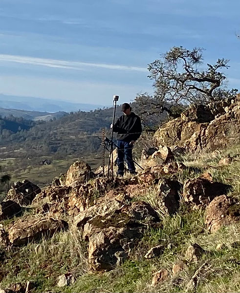
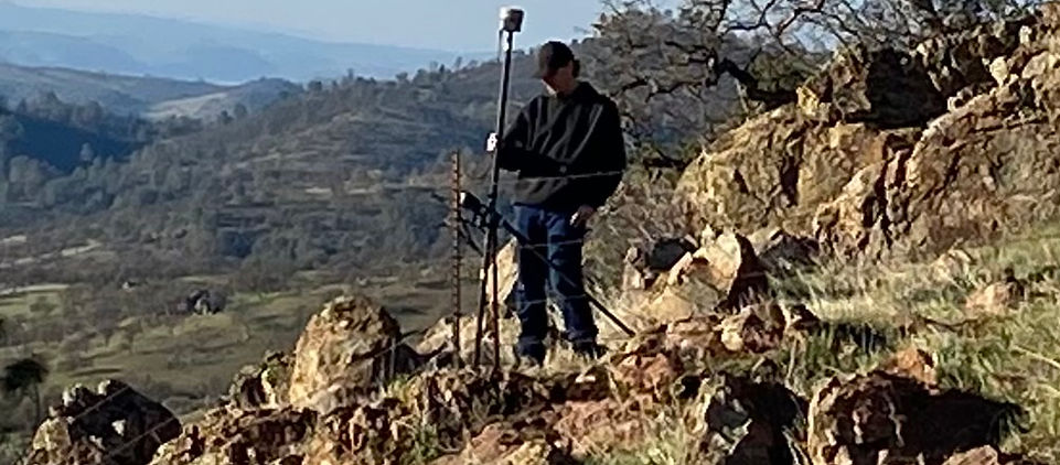
AERIAL IMAGERY
-
ALTA
-
TOPOGRAPHIC SURVEYS
-
PARCEL MAP
-
RECORD OF SURVEY
-
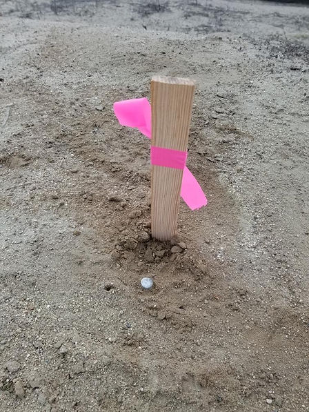
SET PROPERTY CORNERS
-
LOCATE PROPERTY CORNERS
-
LOT MERGE
-
LOT LINE ADJUSTMENT
-
LOT SPLIT
-
CONSTRUCTION STAKING
-
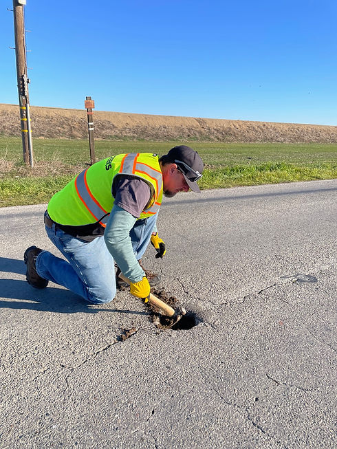
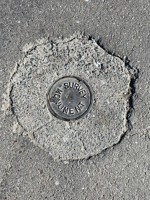
MONUMENT PRESERVATION
-
FLOOD CERTIFICATE
-
MINOR SUBDIVISION

AERIAL IMAGERY
ALTA
TOPOGRAPHIC SURVEYS
LOT LINE ADJUSTMENT
CONSTRUCTION STAKING
MONUMENT PRESERVATION
PARCEL MAP
LOCATE PROPERTY CORNERS
RECORD OF SURVEY
LOT SPLIT
SET PROPERTY CORNERS
LOT MERGE
FLOOD CERTIFICATE
MINOR SUBDIVISION
EXPERTISE AND EXPERIENCE IN SURVEYING
Terry Holmes Land Surveying brings 22 years of extensive experience as a licensed land surveyor and part 107 drone pilot. Our focus on lidar and orthomosaics ensures high-quality results. We specialize in delivering accurate surveys and detailed project showcases.
Our mission is to provide timely and precise surveying services, helping clients make informed decisions regarding their land. By combining technology and expertise, we guarantee accurate results that meet the highest industry standards.